Utility Survey
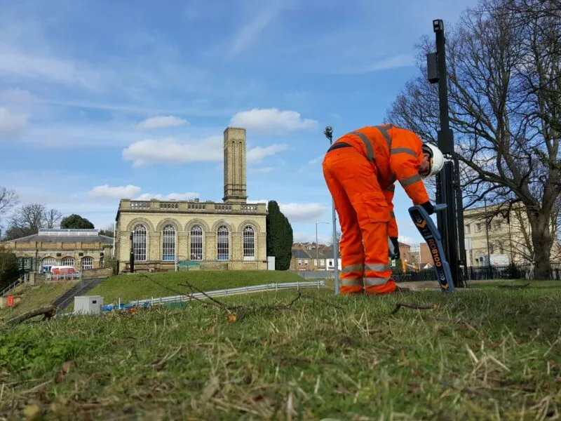
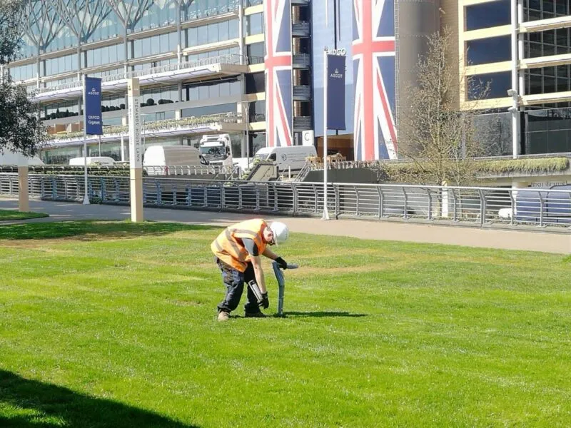
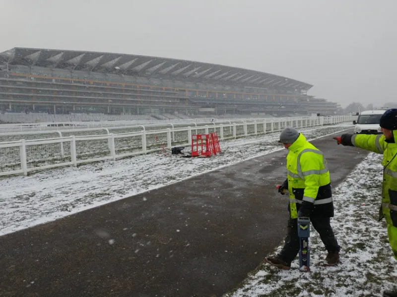
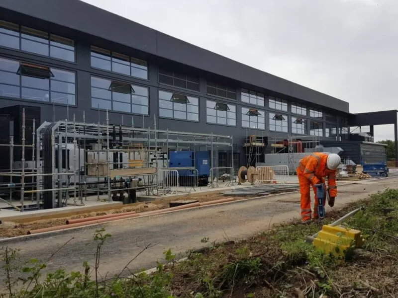
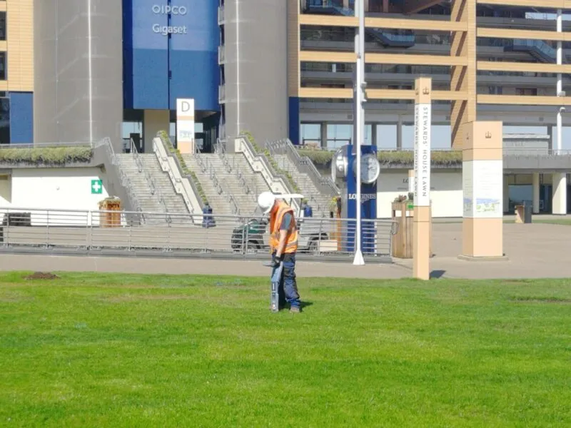
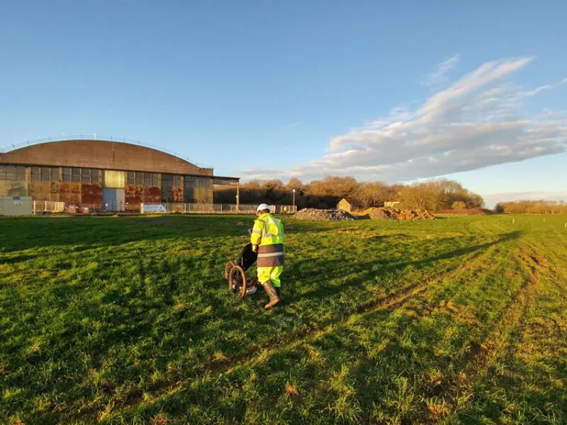
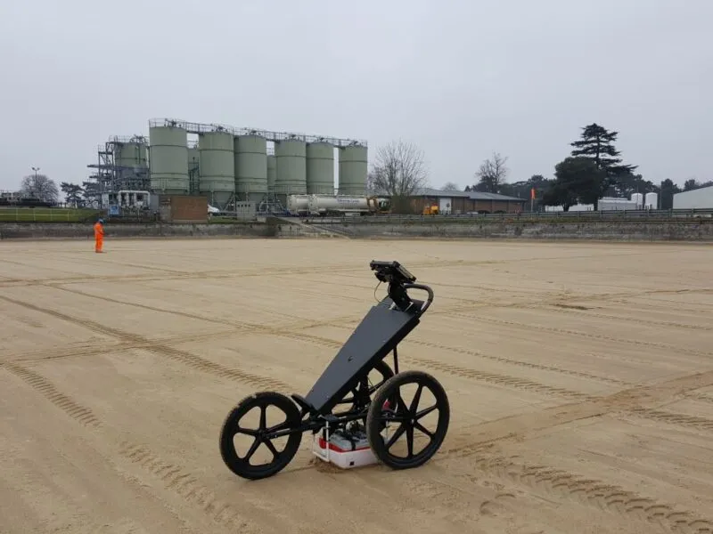
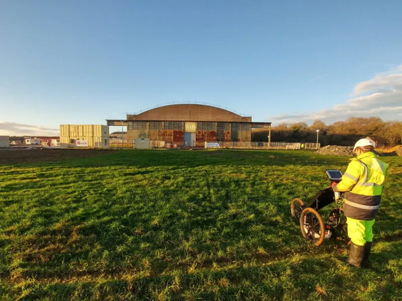
Utility surveys are an important aspect of any site construction work. Most underground services can be detected using electromagnetic detection equipment which can normally determine depth and measurements for cables, metal pipes and drainage runs. However some non-conductive services, for example, fibre optic cables and plastic pipes, require more specialist equipment such as GPR (Ground Penetrating Radar).
The latest electromagnetic service locators from (Radiodetection) or Ground penetrating radar equipment from (GSSI) are used to determine the position of most underground cables and pipes. All routes are site marked with biologically degradable paint. Drains can be located using electronic sondes emitting a signal from the pipe, which is then located on the surface. All this information can then be surveyed to provide a comprehensive record of on site services and depths.
Our surveyors are fully conversant with health and safety procedures as well as being confined space trained and qualified with chapter 8 road safety.
Utility detection and mapping enables the following services and information to be gathered;
- Utility location
- Utility depth
- Size of any subsurface underground services
- Type of utility
- Condition of utility

